Geolocate

Jagsa topographic map

Click on the map to display elevation.

About this map

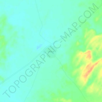
Name: Jagsa topographic map, elevation, terrain.

Location: Jagsa, Pachpadra Tehsil, Balotra, Rajasthan, India (25.64188 72.15425 25.68188 72.19425)

Average elevation: 109 m

Minimum elevation: 98 m

Maximum elevation: 137 m

Gear up for your next adventure:

🎒Hiking Backpack - Lightweight and ergonomic backpacks for day hikes or multi-day treks
🛌Down Sleeping Bag - Superior warmth-to-weight ratio for cold nights
🛶Kayak Accessories - Essential gear for safe and fun kayaking adventures
🥾Mountaineering Boots - Supportive boots for climbing and high-altitude hiking
🧦Merino Wool Socks - Moisture-wicking comfort for long-distance hiking

As an Amazon Associate, this site earns from qualifying purchases at no extra cost to you.