
Thank you for supporting this site ❤️
Make a donation
Make a donation
Gear up for your next adventure:
As an Amazon Associate, this site earns from qualifying purchases at no extra cost to you.
´Arid topographic map
Click on the map to display elevation.
Thank you for supporting this site ❤️
Make a donation
Make a donation
Gear up for your next adventure:
As an Amazon Associate, this site earns from qualifying purchases at no extra cost to you.
About this map
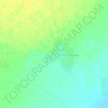
Name: ´Arid topographic map, elevation, terrain.
Location: ´Arid, Kattal - كتال, North Darfur, Sudan (13.28644 25.35615 13.32644 25.39615)
Average elevation: 709 m
Minimum elevation: 700 m
Maximum elevation: 718 m
Thank you for supporting this site ❤️
Make a donation
Make a donation
Gear up for your next adventure:
As an Amazon Associate, this site earns from qualifying purchases at no extra cost to you.