Geolocate

Lamalama topographic map

Click on the map to display elevation.

About this map

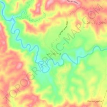
Name: Lamalama topographic map, elevation, terrain.

Location: Lamalama, President Roxas, Cotabato, Soccsksargen, Philippines (7.34612 125.03529 7.38612 125.07529)

Average elevation: 145 m

Minimum elevation: 57 m

Maximum elevation: 225 m

Gear up for your next adventure:

🧢Beanie Hat - Keep your head warm in cold weather
🦌Outdoor Trail Camera - Monitor wildlife activity near your favorite spots
💡Solar Camping Lamp - Eco-friendly lighting for campsites
🧴Sunscreen SPF - Broad-spectrum sunscreen for outdoor activities
Camping Tent - Weather-resistant tents suitable for 2 to 6 people

As an Amazon Associate, this site earns from qualifying purchases at no extra cost to you.