
Thank you for supporting this site ❤️
Make a donation
Make a donation
Gear up for your next adventure:
As an Amazon Associate, this site earns from qualifying purchases at no extra cost to you.
Toulous topographic map
Click on the map to display elevation.
Thank you for supporting this site ❤️
Make a donation
Make a donation
Gear up for your next adventure:
As an Amazon Associate, this site earns from qualifying purchases at no extra cost to you.
About this map
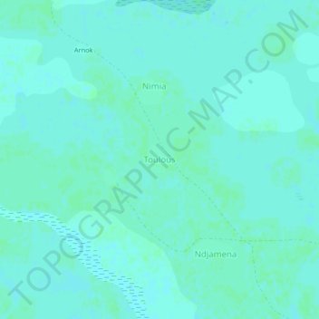
Name: Toulous topographic map, elevation, terrain.
Location: Toulous, Goulfey, Logone-et-Chari, Far-North, Cameroon (12.33107 14.81274 12.37107 14.85274)
Average elevation: 291 m
Minimum elevation: 289 m
Maximum elevation: 293 m
Thank you for supporting this site ❤️
Make a donation
Make a donation
Gear up for your next adventure:
As an Amazon Associate, this site earns from qualifying purchases at no extra cost to you.