Geolocate

Bukit Lagi topographic map

Click on the map to display elevation.

About this map

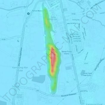
Name: Bukit Lagi topographic map, elevation, terrain.

Location: Bukit Lagi, Kangar, Perlis, 01000, Malaysia (6.42326 100.19254 6.42336 100.19264)

Average elevation: 9 m

Minimum elevation: 1 m

Maximum elevation: 166 m

Other topographic maps

Click on a map to view its topography, its elevation and its terrain.

Sungai Tepoh

Malaysia > Perlis > Kangar

Average elevation: 6 m

Perlis River

Malaysia > Perlis > Kangar

Average elevation: 23 m

Gear up for your next adventure:

🥾Waterproof Trail Shoes - Shoes designed to handle wet terrain
🔭Compact Monocular - One-handed bird watching and trail spotting
🧥Softshell Hiking Jacket - The perfect balance of wind protection and breathability
🌬️Windproof Camp Stove - Efficient cooking even on exposed mountain peaks
🔭Outdoor Binoculars - Lightweight binoculars for birdwatching and hiking

As an Amazon Associate, this site earns from qualifying purchases at no extra cost to you.