Geolocate

Tolari topographic map

Click on the map to display elevation.

About this map

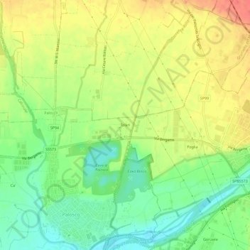
Name: Tolari topographic map, elevation, terrain.

Location: Tolari, Palosco, Bergamo, Lombardy, 25037, Italy (45.58190 9.82811 45.62190 9.86811)

Average elevation: 171 m

Minimum elevation: 143 m

Maximum elevation: 201 m

Gear up for your next adventure:

Lightweight Camping Tent - Portable shelter optimized for Canadian backcountry camping
🧰Emergency Multi-Tool - Compact multi-tool for outdoor survival
🔥Camping Stove - Portable stoves to cook outdoors with ease
🧴Outdoor Sunscreen - High SPF protection for high-altitude UV exposure
Bushcraft Tarp - Versatile emergency shelter or gear protection

As an Amazon Associate, this site earns from qualifying purchases at no extra cost to you.