
Karna topographic map
Interactive map
Click on the map to display elevation.
About this map
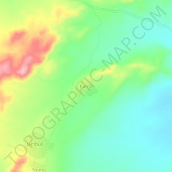
Name: Karna topographic map, elevation, terrain.
Location: Karna, Kutum, Darfour du Nord, Soudan (14.12939 24.74746 14.16939 24.78746)
Average elevation: 1,140 m
Minimum elevation: 1,084 m
Maximum elevation: 1,240 m
Other topographic maps
Click on a map to view its topography, its elevation and its terrain.