
Philipsville topographic map
Click on the map to display elevation.
About this map
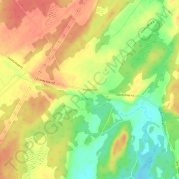
Name: Philipsville topographic map, elevation, terrain.
Average elevation: 122 m
Minimum elevation: 90 m
Maximum elevation: 146 m
Leeds and Grenville Counties trails, hiking, mountain biking, running and outdoor activities
Other topographic maps
Click on a map to view its topography, its elevation and its terrain.
Whitefish Lake
Canada > Ontario > Leeds and Grenville Counties > Rideau Lakes
Average elevation: 122 m
Spectacle Lake
Canada > Ontario > Leeds and Grenville Counties > Rideau Lakes
Average elevation: 189 m
Little Crosby Lake
Canada > Ontario > Leeds and Grenville Counties > Rideau Lakes
Average elevation: 166 m
Upper Rideau Lake
Canada > Ontario > Leeds and Grenville Counties > Rideau Lakes > Newboro
Average elevation: 148 m