Geolocate

O Molar topographic map

Click on the map to display elevation.

About this map

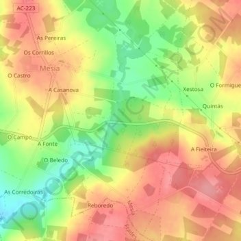
Name: O Molar topographic map, elevation, terrain.

Location: O Molar, Xanceda, Mesía, Ordes, La Coruña, Galicia, España (43.06420 -8.23746 43.08420 -8.21746)

Average elevation: 378 m

Minimum elevation: 324 m

Maximum elevation: 416 m

Gear up for your next adventure:

🕶️Polarized Sunglasses - Protect your eyes with durable polarized lenses
🛏️Camping Sleeping Mat - Comfortable mats for sleeping outdoors
💧Reusable Water Bottle - Durable water bottles for hydration on trails
🧣Merino Neck Gaiter - Protects against wind, sun, and cold at high altitudes
🥾Trail Running Boots - Durable shoes designed for trail running

As an Amazon Associate, this site earns from qualifying purchases at no extra cost to you.