
Bláfjöll topographic map
Interactive map
Click on the map to display elevation.
About this map
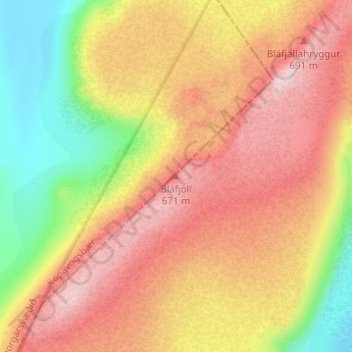
Name: Bláfjöll topographic map, elevation, terrain.
Location: Bláfjöll, Sveitarfélagið Ölfus, Suðurland, Islande (63.99956 -21.58604 63.99966 -21.58594)
Average elevation: 539 m
Minimum elevation: 377 m
Maximum elevation: 669 m