
Thank you for supporting this site ❤️
Make a donation
Make a donation
Gear up for your next adventure:
As an Amazon Associate, this site earns from qualifying purchases at no extra cost to you.
Kudikadu topographic map
Click on the map to display elevation.
Thank you for supporting this site ❤️
Make a donation
Make a donation
Gear up for your next adventure:
As an Amazon Associate, this site earns from qualifying purchases at no extra cost to you.
About this map
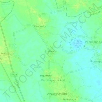
Name: Kudikadu topographic map, elevation, terrain.
Location: Kudikadu, Orathanadu, Thanjavur, Tamil Nadu, 613904, India (10.66815 79.21550 10.70815 79.25550)
Average elevation: 39 m
Minimum elevation: 32 m
Maximum elevation: 47 m
Thank you for supporting this site ❤️
Make a donation
Make a donation
Gear up for your next adventure:
As an Amazon Associate, this site earns from qualifying purchases at no extra cost to you.