
Thank you for supporting this site ❤️
Make a donation
Make a donation
Gear up for your next adventure:
As an Amazon Associate, this site earns from qualifying purchases at no extra cost to you.
Marlal topographic map
Click on the map to display elevation.
Thank you for supporting this site ❤️
Make a donation
Make a donation
Gear up for your next adventure:
As an Amazon Associate, this site earns from qualifying purchases at no extra cost to you.
About this map
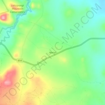
Name: Marlal topographic map, elevation, terrain.
Location: Marlal, Kuku ward, Loitokitok, Kajiado County, Kenya (-2.92358 37.64935 -2.88358 37.68935)
Average elevation: 1,332 m
Minimum elevation: 1,273 m
Maximum elevation: 1,428 m
Thank you for supporting this site ❤️
Make a donation
Make a donation
Gear up for your next adventure:
As an Amazon Associate, this site earns from qualifying purchases at no extra cost to you.