

Make a donation
Gear up for your next adventure:
As an Amazon Associate, this site earns from qualifying purchases at no extra cost to you.
Koroni topographic map
Click on the map to display elevation.
Make a donation
Gear up for your next adventure:
As an Amazon Associate, this site earns from qualifying purchases at no extra cost to you.
Koroni
Between 1966 and 1989 a facility for launching sounding rockets was established near the town. The first launches were performed from Koroni on May 20, 1966 for investigation an annular solar eclipse. These rockets reached an altitude of 114 kilometers. From 1972 to 1989 several Russian meteorological rockets of M-100 type were launched. They reached altitudes up to 95 kilometers. In total 371 rockets were launched.
Make a donation
Gear up for your next adventure:
As an Amazon Associate, this site earns from qualifying purchases at no extra cost to you.
About this map
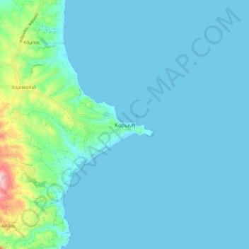
Name: Koroni topographic map, elevation, terrain.
Average elevation: 27 m
Minimum elevation: -1 m
Maximum elevation: 244 m
Make a donation
Gear up for your next adventure:
As an Amazon Associate, this site earns from qualifying purchases at no extra cost to you.