
Curug Sawer topographic map
Click on the map to display elevation.
About this map
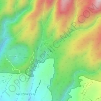
Name: Curug Sawer topographic map, elevation, terrain.
Average elevation: 1,117 m
Minimum elevation: 911 m
Maximum elevation: 1,394 m
Other topographic maps
Click on a map to view its topography, its elevation and its terrain.
Mount Gede Pangrango National Park
Indonesia > West Java > Sukabumi > Kadudampit
Average elevation: 1,055 m