Geolocate

Sega topographic map

Click on the map to display elevation.

About this map

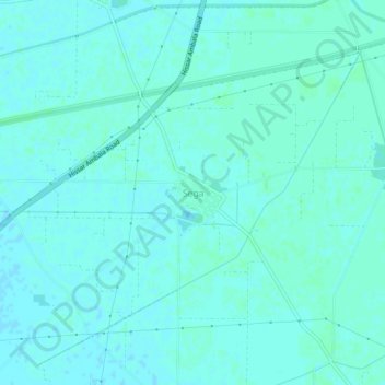
Name: Sega topographic map, elevation, terrain.

Location: Sega, Kaithal, Kaithal District, Haryana, India (29.73419 76.44950 29.77419 76.48950)

Average elevation: 238 m

Minimum elevation: 236 m

Maximum elevation: 241 m

Gear up for your next adventure:

🧰Emergency Multi-Tool - Compact multi-tool for outdoor survival
🥾Lightweight Hiking Boots - Boots for comfort and mobility on long hikes
🔦LED Headlamp - Hands-free lighting for early morning starts or late finishes
🧥Thermal Layer - Insulating layer for cold outdoor conditions
👟Trail Running Shoes - Agile footwear for fast-paced topographic exploration

As an Amazon Associate, this site earns from qualifying purchases at no extra cost to you.