Geolocate

Macanal topographic map

Click on the map to display elevation.

About this map

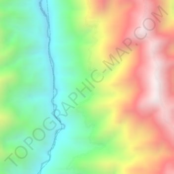
Name: Macanal topographic map, elevation, terrain.

Location: Macanal, Onzaga, Santander, RAP Gran Santander, Colombia (6.44134 -72.82030 6.46134 -72.80030)

Average elevation: 1,993 m

Minimum elevation: 1,593 m

Maximum elevation: 2,454 m

Other topographic maps

Click on a map to view its topography, its elevation and its terrain.

Padua

Colombia > Santander > Onzaga

Average elevation: 1,928 m

Gear up for your next adventure:

🧢Sun Protection Cap - Breathable cap to protect from sun exposure
🚲Bike Repair Kit - Essential tools for on-trail mechanical issues
🔨Vehicle Emergency Tool - Safety tool for remote road trips to trailheads
🥘Camping Cookware Set - Compact nesting pots and pans for trail cooking
🦌Outdoor Trail Camera - Monitor wildlife activity near your favorite spots

As an Amazon Associate, this site earns from qualifying purchases at no extra cost to you.