Geolocate

Chebanse topographic map

Click on the map to display elevation.

About this map

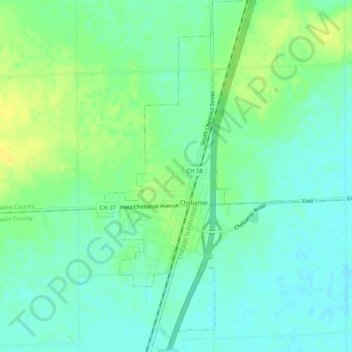
Name: Chebanse topographic map, elevation, terrain.

Location: Chebanse, Kankakee County, Illinois, United States (40.98679 -87.92192 41.02511 -87.89911)

Average elevation: 202 m

Minimum elevation: 193 m

Maximum elevation: 215 m

Gear up for your next adventure:

🧭Orienteering Kit - Tools for map reading and navigation in the wild
🏕️Camping Hammock - Integrated protection for sleeping between trees
🎒Hiking Daypack - Lightweight and durable backpacks for day trips and excursions
🥾Waterproof Hiking Boots - Boots keeping your feet dry in wet conditions
🥾Trekking Poles - Adjustable trekking poles to reduce knee stress and improve stability

As an Amazon Associate, this site earns from qualifying purchases at no extra cost to you.