Geolocate

Colonia topographic map

Click on the map to display elevation.

About this map

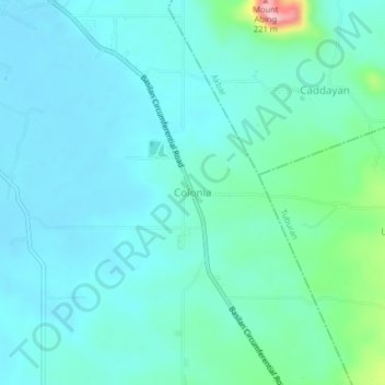
Name: Colonia topographic map, elevation, terrain.

Location: Colonia, Lamitan, Basilan, Bangsamoro, 7302, Philippines (6.61702 122.13932 6.65702 122.17932)

Average elevation: 38 m

Minimum elevation: 5 m

Maximum elevation: 207 m

Gear up for your next adventure:

🔭Compact Monocular - One-handed bird watching and trail spotting
🥾Waterproof Hiking Shoes - Durable shoes for wet and rugged trails
🧤Insulated Winter Gloves - Heavy-duty protection for sub-zero Canadian adventures
🐕Hiking Dog Pack - Let your canine companion carry their own water and food
🧢Sun Protection Cap - Breathable cap to protect from sun exposure

As an Amazon Associate, this site earns from qualifying purchases at no extra cost to you.