
Kwahu topographic map
Interactive map
Click on the map to display elevation.
About this map
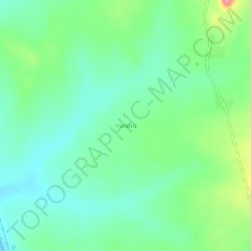
Name: Kwahu topographic map, elevation, terrain.
Location: Kwahu, Giwa, Kaduna, Nigeria (11.13404 6.95095 11.17404 6.99095)
Average elevation: 658 m
Minimum elevation: 630 m
Maximum elevation: 726 m