Geolocate

Marigaon topographic map

Click on the map to display elevation.

About this map
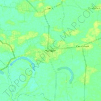
Name: Marigaon topographic map, elevation, terrain.

Location: Marigaon, Marigaon District, Assam, 782105, India (26.21149 92.30438 26.29149 92.38438)

Average elevation: 58 m

Minimum elevation: 52 m

Maximum elevation: 65 m

Gear up for your next adventure:

🧥Waterproof Jacket - Lightweight rain jackets for hiking and outdoor activities
🦯Trekking Poles - Reduced impact on joints for steep topographic climbs
🥾Hiking Shoes - Durable and comfortable shoes for trail hiking
🚲Heavy Duty Bike Lock - Secure your bike at the trailhead or during stops
🧥Fleece Jacket - Warm and lightweight jacket for layering

As an Amazon Associate, this site earns from qualifying purchases at no extra cost to you.