Geolocate

Marigaon topographic map

Click on the map to display elevation.

About this map

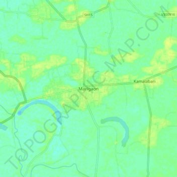
Name: Marigaon topographic map, elevation, terrain.

Location: Marigaon, Marigaon District, Assam, 782105, India (26.21149 92.30438 26.29149 92.38438)

Average elevation: 58 m

Minimum elevation: 52 m

Maximum elevation: 65 m

Gear up for your next adventure:

🧭GPS Handheld Device - Reliable GPS navigation for outdoor adventures
🧴Sunscreen SPF - Broad-spectrum sunscreen for outdoor activities
🥾Waterproof Hiking Boots - Essential footwear for rugged terrain and wet Canadian trails
🥾Mountaineering Boots - Supportive boots for climbing and high-altitude hiking
🐕Hiking Dog Pack - Let your canine companion carry their own water and food

As an Amazon Associate, this site earns from qualifying purchases at no extra cost to you.