
Wilmot topographic map
Interactive map
Click on the map to display elevation.
About this map
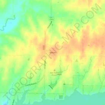
Name: Wilmot topographic map, elevation, terrain.
Location: Wilmot, Cowley County, Kansas, USA (37.35617 -96.89606 37.39617 -96.85606)
Average elevation: 394 m
Minimum elevation: 373 m
Maximum elevation: 410 m