Geolocate

Kiawah Island Bass Pond D-3047 Dam topographic map

Click on the map to display elevation.

About this map
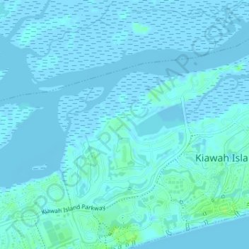
Name: Kiawah Island Bass Pond D-3047 Dam topographic map, elevation, terrain.

Location: Kiawah Island Bass Pond D-3047 Dam, Kiawah Island, Charleston County, South Carolina, USA (32.61180 -80.09820 32.61190 -80.09810)

Average elevation: 1 m

Minimum elevation: -3 m

Maximum elevation: 10 m

Gear up for your next adventure:

🕯️Camping Lantern - Illuminates your entire campsite with high-efficiency LEDs
🧥Ultralight Puffy Jacket - Maximum warmth that packs down to the size of an orange
🧥Softshell Jacket - Windproof and breathable jacket for hiking
👟Trail Running Shoes - Agile footwear for fast-paced topographic exploration
🧣Evaporative Cooling Towel - Beat the heat during intense summer climbs

As an Amazon Associate, this site earns from qualifying purchases at no extra cost to you.