
Ratnapura topographic map
Interactive map
Click on the map to display elevation.
About this map
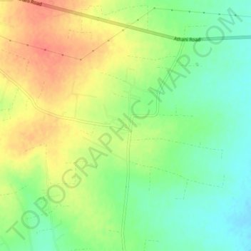
Name: Ratnapura topographic map, elevation, terrain.
Location: Ratnapura, Vijayapura taluk, Bijapur district, Karnataka, Inde (16.79519 75.54556 16.83519 75.58556)
Average elevation: 644 m
Minimum elevation: 620 m
Maximum elevation: 670 m