Geolocate

Grapefield topographic map

Click on the map to display elevation.

About this map

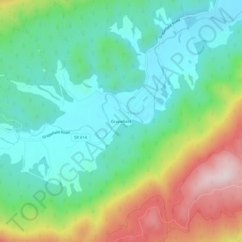
Name: Grapefield topographic map, elevation, terrain.

Location: Grapefield, Bland County, Virginia, 24314, United States (37.12956 -81.26204 37.16956 -81.22204)

Average elevation: 822 m

Minimum elevation: 681 m

Maximum elevation: 1,124 m

Gear up for your next adventure:

🧴Bear Spray Holster - Quick-access carry for essential Canadian wilderness safety
🧴Insect Repellent - Protect yourself from bugs during outdoor adventures
🥾All-Terrain Hiking Boots - Versatile boots for varied hiking conditions
🧦Hiking Socks - Moisture-wicking and comfortable socks for long hikes
🧦Crew Hiking Socks - Comfortable socks for long-distance hikes

As an Amazon Associate, this site earns from qualifying purchases at no extra cost to you.