
Thank you for supporting this site ❤️
Make a donation
Make a donation
Gear up for your next adventure:
As an Amazon Associate, this site earns from qualifying purchases at no extra cost to you.
Konzell topographic map
Click on the map to display elevation.
Thank you for supporting this site ❤️
Make a donation
Make a donation
Gear up for your next adventure:
As an Amazon Associate, this site earns from qualifying purchases at no extra cost to you.
About this map
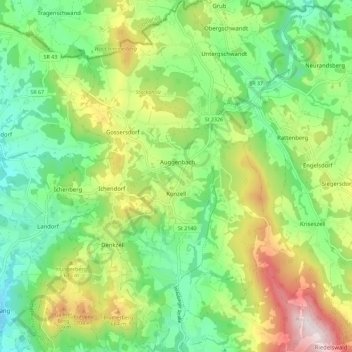
Name: Konzell topographic map, elevation, terrain.
Location: Konzell, Landkreis Straubing-Bogen, Bayern, 94357, Deutschland (49.03934 12.66925 49.11364 12.74283)
Average elevation: 541 m
Minimum elevation: 352 m
Maximum elevation: 881 m
Thank you for supporting this site ❤️
Make a donation
Make a donation
Gear up for your next adventure:
As an Amazon Associate, this site earns from qualifying purchases at no extra cost to you.