
Longa topographic map
Interactive map
Click on the map to display elevation.
About this map
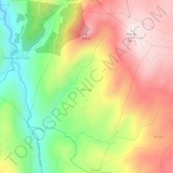
Name: Longa topographic map, elevation, terrain.
Location: Longa, Tabuaço, Viseu, Portugal (41.04126 -7.61042 41.07955 -7.57382)
Average elevation: 638 m
Minimum elevation: 304 m
Maximum elevation: 977 m