Geolocate

Teluk Rimba topographic map

Click on the map to display elevation.

About this map

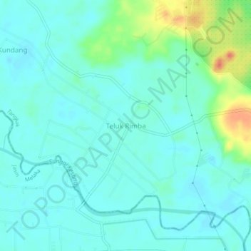
Name: Teluk Rimba topographic map, elevation, terrain.

Location: Teluk Rimba, Tangkak, Johor, 77400, Malaysia (2.16062 102.49172 2.20062 102.53172)

Average elevation: 11 m

Minimum elevation: 0 m

Maximum elevation: 49 m

Gear up for your next adventure:

💡LED Headlamp - Hands-free illumination for night hiking and camping
🧢Beanie Hat - Keep your head warm in cold weather
🥘Camping Cookware Set - Compact nesting pots and pans for trail cooking
🥾Durable Hiking Shoes - Long-lasting shoes for frequent hiking
🚑Survival Whistle - Signal for help across long distances in mountains

As an Amazon Associate, this site earns from qualifying purchases at no extra cost to you.