
Hollis topographic map
Interactive map
Click on the map to display elevation.
About this map
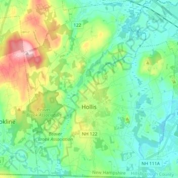
Name: Hollis topographic map, elevation, terrain.
Location: Hollis, Hillsborough County, New Hampshire, United States (42.70280 -71.64186 42.80359 -71.52490)
Average elevation: 101 m
Minimum elevation: 46 m
Maximum elevation: 246 m