Soda Lakes topographic map
Interactive map
Click on the map to display elevation.
About this map
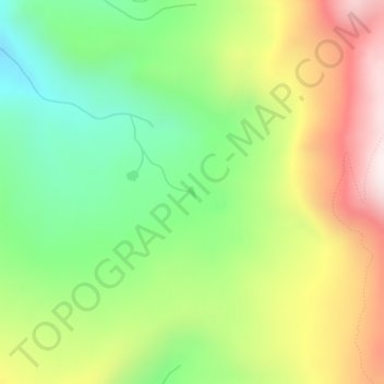
Name: Soda Lakes topographic map, elevation, terrain.
Average elevation: 3,232 m
Minimum elevation: 2,925 m
Maximum elevation: 3,642 m

Click on the map to display elevation.
Name: Soda Lakes topographic map, elevation, terrain.
Average elevation: 3,232 m
Minimum elevation: 2,925 m
Maximum elevation: 3,642 m