
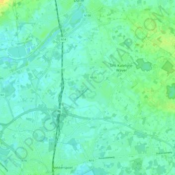
Wavre-Sainte-Catherine topographic map
Interactive map
Click on the map to display elevation.
About this map
Name: Wavre-Sainte-Catherine topographic map, elevation, terrain.
Location: Wavre-Sainte-Catherine, Malines, Anvers, Flandre, 2860, Belgique (51.03465 4.46281 51.08979 4.56976)
Average elevation: 6 m
Minimum elevation: -1 m
Maximum elevation: 22 m