
Santibáñez el Alto topographic map
Interactive map
Click on the map to display elevation.
About this map
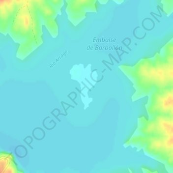
Name: Santibáñez el Alto topographic map, elevation, terrain.
Location: Santibáñez el Alto, Cáceres, Extremadura, España (40.13079 -6.55888 40.13800 -6.55307)
Average elevation: 312 m
Minimum elevation: 305 m
Maximum elevation: 343 m