
Meter topographic map
Interactive map
Click on the map to display elevation.
About this map
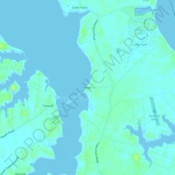
Name: Meter topographic map, elevation, terrain.
Location: Meter, Westmoreland County, Virginia, 22469, United States (38.10541 -76.65329 38.14541 -76.61329)
Average elevation: 3 m
Minimum elevation: -2 m
Maximum elevation: 15 m