
Shiloh topographic map
Interactive map
Click on the map to display elevation.
About this map
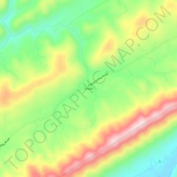
Name: Shiloh topographic map, elevation, terrain.
Location: Shiloh, Hawkins County, Tennessee, United States (36.46204 -83.11934 36.50204 -83.07934)
Average elevation: 539 m
Minimum elevation: 377 m
Maximum elevation: 742 m