
Binga River topographic map
Interactive map
Click on the map to display elevation.
About this map
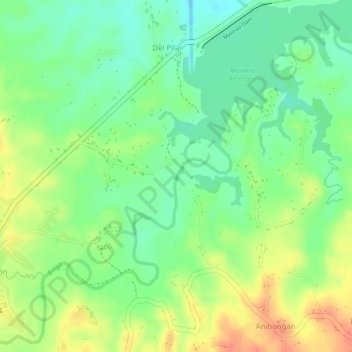
Name: Binga River topographic map, elevation, terrain.
Location: Binga River, Tagbilaran, Bohol, Central Visayas, Philippines (9.81036 124.30385 9.82591 124.31144)
Average elevation: 161 m
Minimum elevation: 137 m
Maximum elevation: 187 m