
Hilltop topographic map
Interactive map
Click on the map to display elevation.
About this map
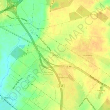
Name: Hilltop topographic map, elevation, terrain.
Location: Hilltop, San Antonio, Bexar County, Texas, United States (29.29190 -98.41779 29.33190 -98.37779)
Average elevation: 171 m
Minimum elevation: 151 m
Maximum elevation: 184 m