
Thank you for supporting this site ❤️
Make a donation
Make a donation
Gear up for your next adventure:
As an Amazon Associate, this site earns from qualifying purchases at no extra cost to you.
Alía topographic map
Click on the map to display elevation.
Thank you for supporting this site ❤️
Make a donation
Make a donation
Gear up for your next adventure:
As an Amazon Associate, this site earns from qualifying purchases at no extra cost to you.
About this map
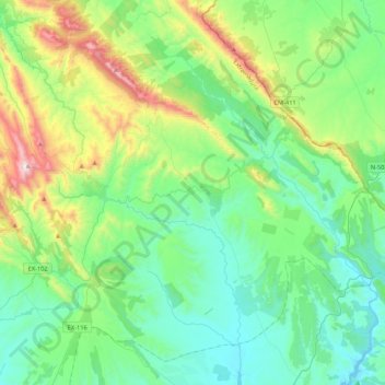
Name: Alía topographic map, elevation, terrain.
Location: Alía, Las Villuercas, Cáceres, Extremadura, Spanje (39.30182 -5.38002 39.59202 -4.95251)
Average elevation: 643 m
Minimum elevation: 352 m
Maximum elevation: 1,585 m
Thank you for supporting this site ❤️
Make a donation
Make a donation
Gear up for your next adventure:
As an Amazon Associate, this site earns from qualifying purchases at no extra cost to you.