
Wyoming topographic map
Interactive map
Click on the map to display elevation.
About this map
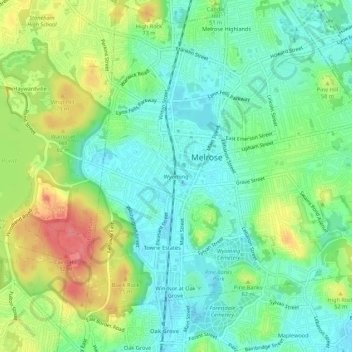
Name: Wyoming topographic map, elevation, terrain.
Average elevation: 38 m
Minimum elevation: 11 m
Maximum elevation: 85 m
Other topographic maps
Click on a map to view its topography, its elevation and its terrain.
Melrose Highlands
United States > Massachusetts > Middlesex County > Melrose
Melrose Highlands, Melrose, Middlesex County, Massachusetts, 02176, United States
Average elevation: 38 m