Geolocate

Kmehlen topographic map

Click on the map to display elevation.

About this map

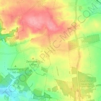
Name: Kmehlen topographic map, elevation, terrain.

Location: Kmehlen, Priestewitz, Meißen, Sachsen, Deutschland (51.20704 13.46734 51.24704 13.50734)

Average elevation: 171 m

Minimum elevation: 123 m

Maximum elevation: 216 m

Gear up for your next adventure:

🥾Durable Hiking Shoes - Long-lasting shoes for frequent hiking
🗺️Topographic Maps - Detailed maps to explore trails, mountains, and wilderness areas
🥾Approach Shoes - Shoes designed for climbing approaches and rugged trails
🧥Softshell Jacket - Windproof and breathable jacket for hiking
🛶Waterproof Dry Bags - Keep electronics and clothes dry during river crossings

As an Amazon Associate, this site earns from qualifying purchases at no extra cost to you.