Geolocate

Butler topographic map

Click on the map to display elevation.

About this map

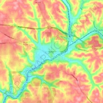
Name: Butler topographic map, elevation, terrain.

Location: Butler, Butler County, Pennsylvania, 16003, United States (40.82108 -79.93520 40.90108 -79.85520)

Average elevation: 364 m

Minimum elevation: 299 m

Maximum elevation: 416 m

Gear up for your next adventure:

🛁Quick-Dry Microfiber Towel - Space-saving towel that dries rapidly on the move
🔋Solar Power Bank - Keep your GPS and devices charged during long outdoor trips
🗺️Topographic Maps - Detailed maps to explore trails, mountains, and wilderness areas
💡LED Camping Lantern - Illuminate your campsite with long-lasting lanterns
💧Collapsible Water Bottle - Space-saving water bottle for outdoor activities

As an Amazon Associate, this site earns from qualifying purchases at no extra cost to you.