
Lageia topographic map
Interactive map
Click on the map to display elevation.
About this map
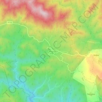
Name: Lageia topographic map, elevation, terrain.
Location: Lageia, Larnaca District, 7713, Cyprus (34.82307 33.22695 34.86307 33.26695)
Average elevation: 421 m
Minimum elevation: 218 m
Maximum elevation: 684 m