Geolocate

Chala topographic map

Click on the map to display elevation.

About this map

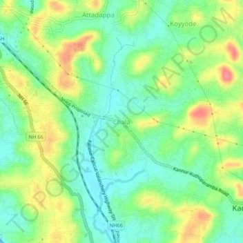
Name: Chala topographic map, elevation, terrain.

Location: Chala, Kannur, Kannur district, Kerala, 670621, India (11.82728 75.41344 11.86728 75.45344)

Average elevation: 27 m

Minimum elevation: 0 m

Maximum elevation: 68 m

Gear up for your next adventure:

🚲Heavy Duty Bike Lock - Secure your bike at the trailhead or during stops
🧥Fleece Jacket - Warm and lightweight jacket for layering
🚑Survival Whistle - Signal for help across long distances in mountains
🧼Travel Hand Sanitizer - Keep hands clean when water is scarce
🧦Crew Hiking Socks - Comfortable socks for long-distance hikes

As an Amazon Associate, this site earns from qualifying purchases at no extra cost to you.