
Lockhaven topographic map
Click on the map to display elevation.
About this map
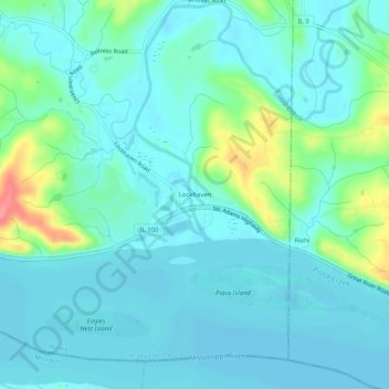
Name: Lockhaven topographic map, elevation, terrain.
Location: Lockhaven, Jersey County, Illinois, United States (38.92060 -90.30817 38.96060 -90.26817)
Average elevation: 142 m
Minimum elevation: 126 m
Maximum elevation: 208 m