
Mariakerke topographic map
Interactive map
Click on the map to display elevation.
About this map
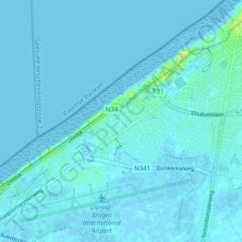
Name: Mariakerke topographic map, elevation, terrain.
Location: Mariakerke, Oostende, West-Vlaanderen, Vlaanderen, 8400, België (51.19304 2.85938 51.23304 2.89938)
Average elevation: 2 m
Minimum elevation: -3 m
Maximum elevation: 24 m
Other topographic maps
Click on a map to view its topography, its elevation and its terrain.