
Arganda del Rey topographic map
Interactive map
Click on the map to display elevation.
About this map
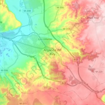
Name: Arganda del Rey topographic map, elevation, terrain.
Average elevation: 663 m
Minimum elevation: 527 m
Maximum elevation: 793 m
El municipio está situado a una altitud de 613 m s. n. m..