Geolocate

Milagros topographic map

Click on the map to display elevation.

About this map

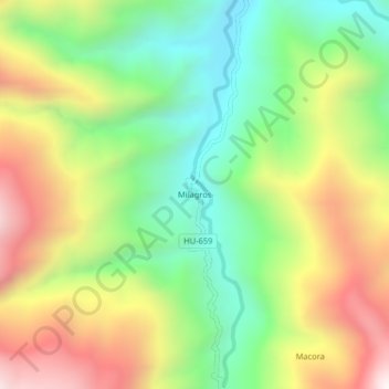
Name: Milagros topographic map, elevation, terrain.

Location: Milagros, Monzón, Huamalíes, Huánuco, Perú (-9.37890 -76.42248 -9.33890 -76.38248)

Average elevation: 1,569 m

Minimum elevation: 1,094 m

Maximum elevation: 2,203 m

Gear up for your next adventure:

🏃Hydration Running Vest - Carry water and maps close to your body for speed
🧥Packable Rain Jacket - Breathable waterproof layer for unpredictable weather
🧣Merino Neck Gaiter - Protects against wind, sun, and cold at high altitudes
🦌Outdoor Trail Camera - Monitor wildlife activity near your favorite spots
🛶Canoe Life Vest - Safety vest for water sports

As an Amazon Associate, this site earns from qualifying purchases at no extra cost to you.