
Sunken Marsh topographic map
Interactive map
Click on the map to display elevation.
About this map
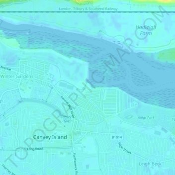
Name: Sunken Marsh topographic map, elevation, terrain.
Average elevation: 2 m
Minimum elevation: -2 m
Maximum elevation: 21 m
Other topographic maps
Click on a map to view its topography, its elevation and its terrain.
Benfleet
United Kingdom > England > Castle Point > Benfleet
Benfleet, Castle Point, Essex, East of England, England, SS7 5SW, United Kingdom
Average elevation: 25 m