
Souain-Perthes-lès-Hurlus topographic map
Interactive map
Click on the map to display elevation.
About this map
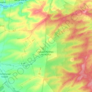
Name: Souain-Perthes-lès-Hurlus topographic map, elevation, terrain.
Average elevation: 157 m
Minimum elevation: 115 m
Maximum elevation: 204 m