
관어지 topographic map
Interactive map
Click on the map to display elevation.
About this map
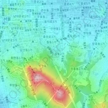
Name: 관어지 topographic map, elevation, terrain.
Location: 관어지, 삼일대로2길, 필동, 중구, 04553, Corée du Sud (37.55771 126.99303 37.55785 126.99320)
Average elevation: 75 m
Minimum elevation: 22 m
Maximum elevation: 265 m