
Thank you for supporting this site ❤️
Make a donation
Make a donation
Gear up for your next adventure:
As an Amazon Associate, this site earns from qualifying purchases at no extra cost to you.
Limerlé topographic map
Click on the map to display elevation.
Thank you for supporting this site ❤️
Make a donation
Make a donation
Gear up for your next adventure:
As an Amazon Associate, this site earns from qualifying purchases at no extra cost to you.
About this map
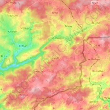
Name: Limerlé topographic map, elevation, terrain.
Location: Limerlé, Gouvy, Bastenaken, Luxemburg, Wallonië, België (50.11023 5.85790 50.20880 5.97285)
Average elevation: 471 m
Minimum elevation: 369 m
Maximum elevation: 538 m
Thank you for supporting this site ❤️
Make a donation
Make a donation
Gear up for your next adventure:
As an Amazon Associate, this site earns from qualifying purchases at no extra cost to you.